Western Cwm: A Large Everest Glacial Passage
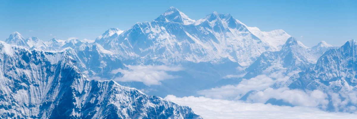
Table of Contents
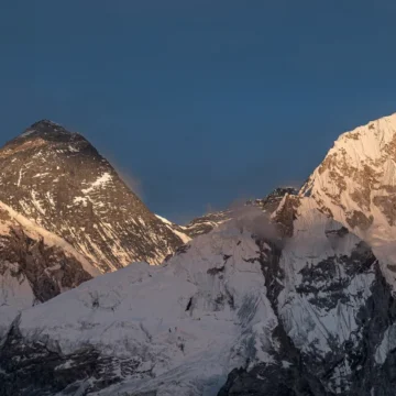
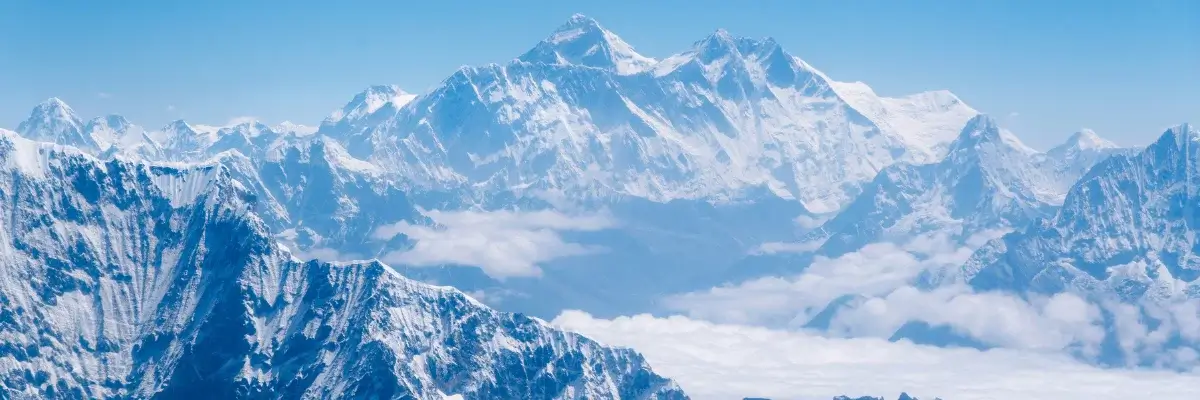
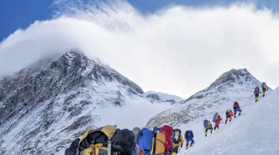
Western Cwm is a glaciated valley which you encounter while climbing Everest from the south side of Nepal. It is surrounded by Everest on the left, Lhotse straight ahead and Nuptse on the right. In this article, we will learn about what Western Cwm is, how it was formed, what temperatures there are, and what its elevation is.
What is Western Cwm?
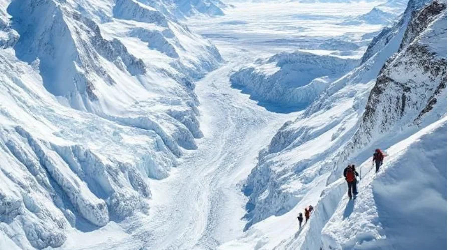
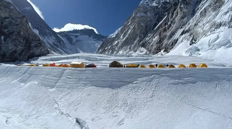
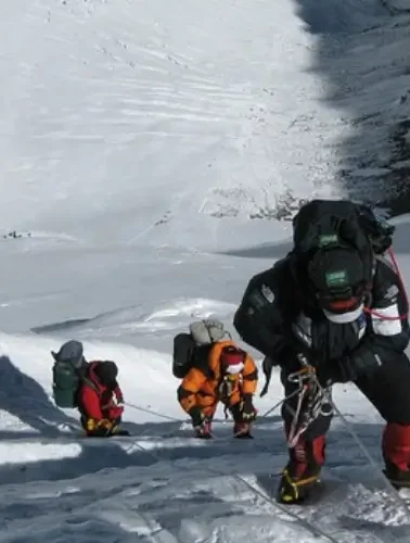
It is a between Mount Everest Camp I and Camp II, where Camp I sits at 6,065 m and Camp II sits at 6,400 m. Located above the Khumbu Icefall, the area stretches toward the Lhotse Face. Thickly surrounding ice walls near the valley prevent heat from escaping, thus making the region warmer than expected throughout daytime hours. The dangerous area for climbers is in hidden crevasses because thin snow bridges provide deception of normal route. This part of the mountain receives no wind at all, which gives it the name “Valley of Silence”.
What kind of temperature and climate is in this glacial passage?
The temperature range between extreme high and low, with nighttime temperatures reaching -30°C (86°C) while daytime temperatures escalate to the high +35°C (95°F). Sunlight becomes trapped against the mountain, which creates a heat wave effect despite being located at a high altitude.
Strong winds do not blow through the valley, so the area still feels remarkably different from other sections of Everest. Strong UV rays creates a high danger of sunburn and dehydration among climbers. Crevasse snow bridges start weakening when daytime temperatures increase, thus endangering ascending mountaineers.
What is the Elevation of this passage?
Western Cwm is stretched across at an elevation of 6,000 m (19685.04 ft) to 6,800 m (22309.71 ft). It gets very hot at this elevation due to being very close to the sun.
What is the Location and what is its length?
The location of Western Cwm is between Everest Base Camp and Camp II. It lies 2.8 km (1.7 miles) away from Camp I and lies above Khumbu Icefall. The length of this bowl-shaped valley is 4 km (2.5 miles).
How was it formed?
It is between Lhotse Face and Everest’s West Shoulder, within the Khumbu Glacier system. The Western Cwm emerged through thousands of years of glacier processes that shifted and wore away at the mountains, forming a deep valley between Everest, Lhotse, and Nuptse. The gradual movement of ice and its slow-flowing nature developed the U-shaped structure, which resulted in flat yet crevassed terrain.
What type of terrain does the journey to Western Cwm present?
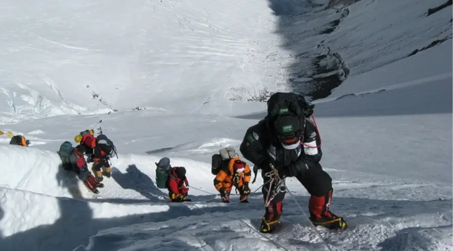
Rocky moraine, shifting ice, and deep crevasses form the terrain leading to Western Cwm. The Khumbu Icefall is the most dangerous part, with unstable ice towers. Ladders are used for cross crevasses. After the Icefall, the terrain flattens into the Western Cwm.
What are the dangers in this glacial Passsage?
During the Western Cwm crossing, three main dangers threatened the climbers: Unstable ice, which might slide or collapse; intense UV rays causing burns or snow blindness; and hidden crevasses hidden under thin ice bridges.
The Unknown Facts of Western Cwm
- It is extremely hot when it’s sunny, and you will have to keep hydrating yourself
- The hidden crevasses under ice bridges make it too risky to cross that section.
- Many incidents occur where people accidentally fall into hidden crevasses, making it the deadliest passage.
- The Western Cwm is a slowly moving glacier that is constantly shifting over time
- The temperature swings in this section are dramatic since nighttime brings sub-30 degrees Celsius while daytime creates an extremely hot environment.
- Oxygen levels are only about 50% of the sea level, making even simple movements exhausting.
- Ice walls reflecting sunlight intensify ultraviolet rays, leading to dangerous conditions of sunburn and snow blindness.
Want to know more?
Speak to an Expert


Sandip Dhungana
Nepal 🇳🇵
Whatsapp: +977-9823636377






Leave Your Comment