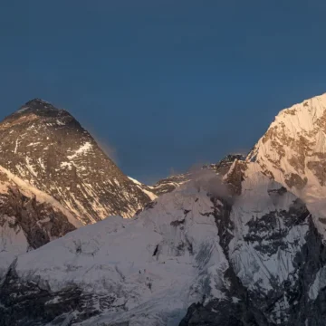
Rivers of Nepal: From Mountains to the Plains
Table of Contents
Nepal is a country of rivers, originating from the pristine Himalayas, flowing through the hilly region to the plains of Terai, and finally mixing with the larger rivers of India. Nepal is 2nd richest country in freshwater resources after Brazil. Altogether, there are 6,000+ rivers and streams in Nepal. More than 1,000 rivers stretch more than 11 kms, with the total length of the rivers of Nepal being about 45,000 kms. The rivers of Nepal contribute to 202,000 million cubic meters of water storage capacity.
Major Rivers of Nepal
Koshi River System
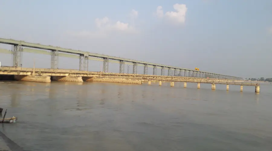
The Koshi River, also known as Saptakoshi, is the largest river system in Nepal. It is named because it is formed by seven different river tributaries: Arun, Tamur, Dush Koshi, Likhu Khola, Sun Koshi, Bhote Koshi, and Indravati.
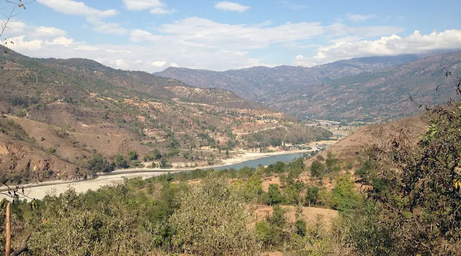
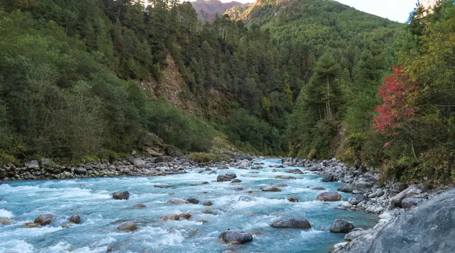
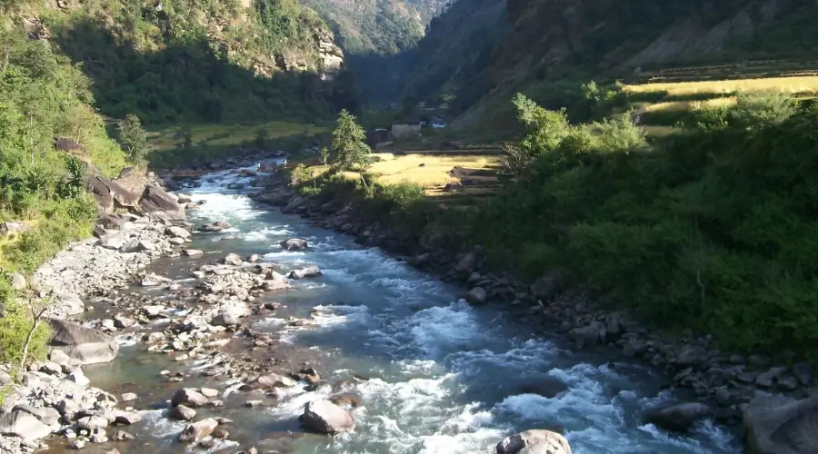
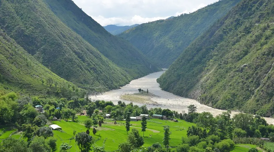
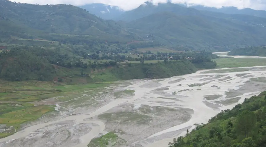
- Arun River: It originates in Tibet and flows through eastern Nepal. It is one of the main tributaries of the Koshi River and is the largest river in terms of volume.
- Tamur River: Originated in the Kanchenjunga region.
- Dudh Koshi River: Formed by glaciers from the Everest region.
- Likhu Khola: A smaller tributary that merges with the Dudh Koshi.
- Sun Koshi River: Flows from the Rolwaling Himal.
- Bhote Koshi River: Originates in Tibet and is known for its whitewater rapids.
- Indravati River: Flows from the Rasuwa District.
Finally, the Koshi River flows into the plains of Bihar, India, sometimes causing devastating floods. Additionally, the river is the primary source of water for irrigating agricultural fields and local communities.
Gandaki River System
The Gandaki River system, referred to as the Narayani in its lower regions, flows through central Nepal. It is famous for one of the tribulates, the Kali Gandaki, creating the deepest gorge in the world: the Kali Gandaki George.
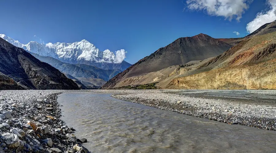
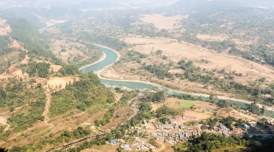
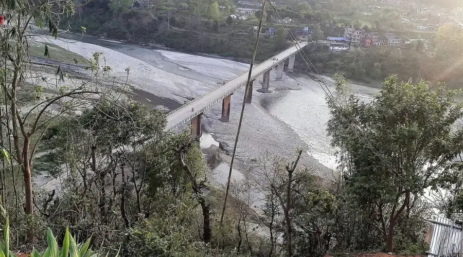
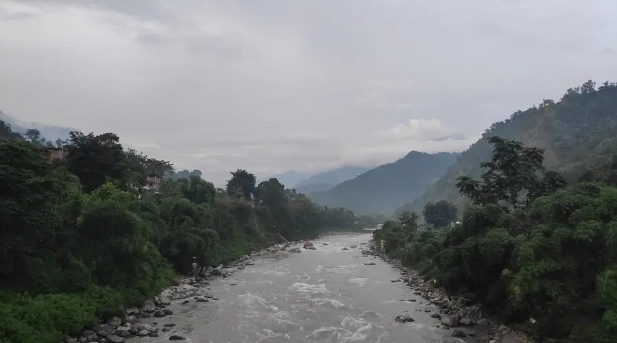
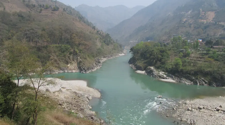
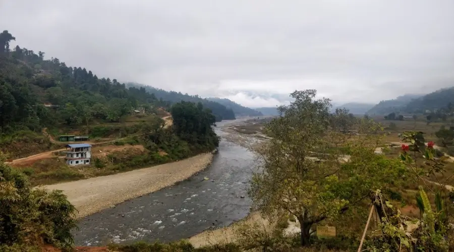
So, the tributaries of the Gandaki River system are:
- Kali Gandaki River: It originates near the Tibetan border and flows through the Annapurna and Dhaulagiri ranges. Then, it merges with Trishuli at Devghat and forms Narayani.
- Marsyangdi River: Begins in the Manang District and is known for its irregular terrain.
- Seti Gandaki River: Flows through the Pokhara Valley.
- Budhi Gandaki River: Known for its deep and narrow valleys.
- Trishuli River: Popular for rafting and flows through central Nepal.
- Madi River: A significant tributary of the Gandaki, originating from the Annapurna region and flowing through the central parts of the Gandaki basin.
- Daraudi River: Originates in the mid-hills of central Nepal and flows southward through Tanahun and Lamjung before joining the Gandaki River system.
This system is a vital river for hydropower and agriculture and has significant cultural and religious importance. Narayani is popular among Hindu pilgrims who visit for ‘Devghat Dham’.
Bagmati River System
The Bagmati River is a holy river system with cultural and religious values. It is a sacred pilgrim site for Hindus and is also popular for short treks. People tend to go to Bishnudwar, which is the origin point of the Bishnumati River. Furthermore, the river system holds religious significance, and Bagmati has suffered from pollution over the years due to unplanned urbanization.
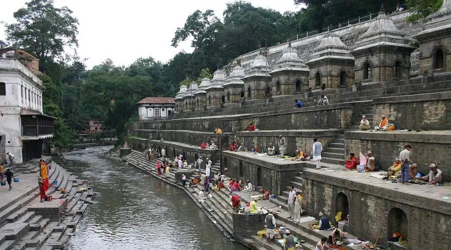
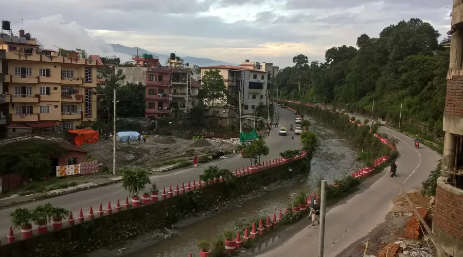
So, key tributaries of the Bagmati River system are:
- Bishnumati River: A major tributary flowing through Kathmandu.
- Dhobi Khola: Flows through the heart of the city.
- Manohara River: Originates from the eastern parts of Kathmandu Valley.
- Nakhhu Khola: Contributes to the Bagmati’s flow.
- Balkhu River: A tributary flowing through the southwestern parts of the Kathmandu Valley and merging with the Bagmati River.
- Tukucha River: Originates from the northern hills surrounding Kathmandu and flows into the Bagmati River, contributing to its flow in the city.
Karnali River System
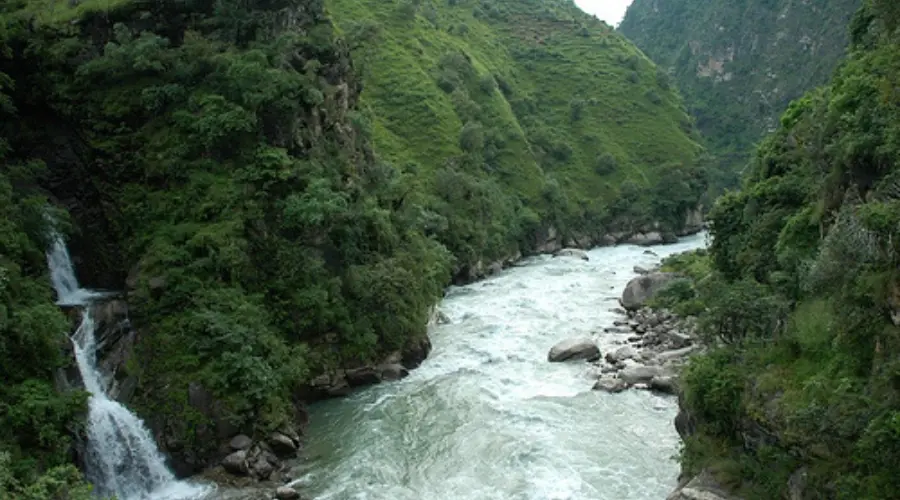
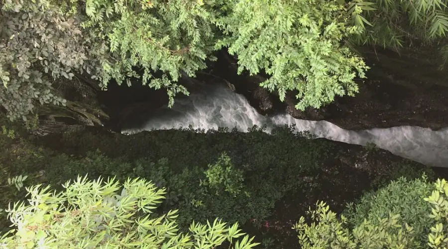
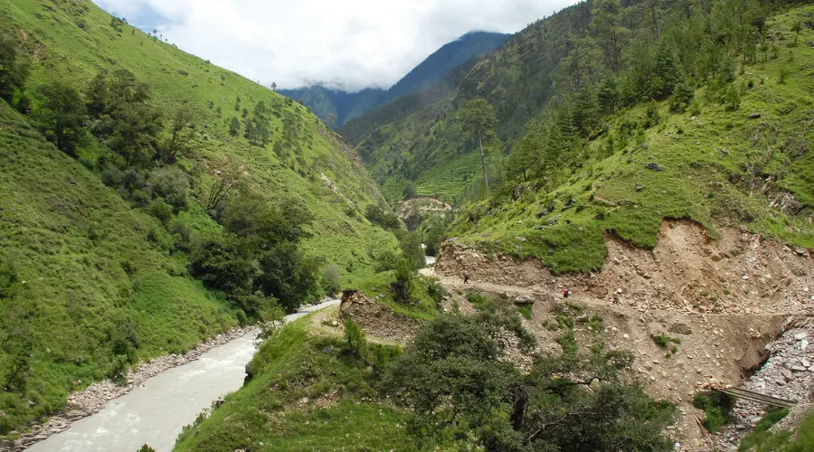
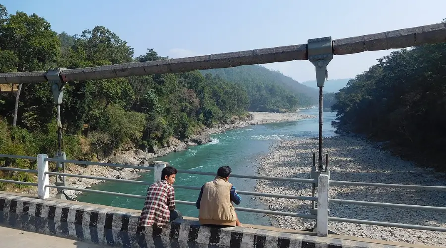
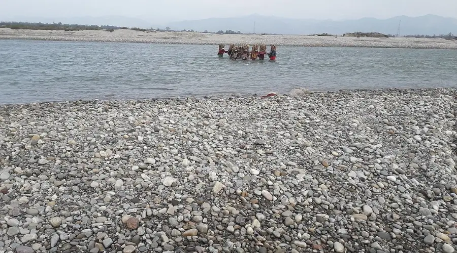
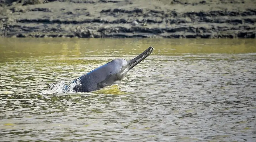
The Karnali River is the longest river in Nepal, also called Ghaghara in India. It has been a source of hydroelectricity in Nepal and supports the ecosystem of four National Parks, two buffer zones, and a wildlife reserve. Nepal, Tibet, and India share the river. Similarly, some dolphin species can also be found here.
So, the tributaries of the Karnali River system are:
- Humla Karnali River: Originates in the Humla District.
- Mugu Karnali River: Flows from the Mugu District.
- Seti River: A significant tributary known for its picturesque valley. Seti is also known as Budi Ganga
- Bheri (Thuli and Sani) River: Bheri is formed by Thuli Bheri and Sani Bheri. The Thuli Bheri originates from Dolpa, and Sani Bheri from Rukum and Rolpa, merging to form Bheri.
- Mahakali River: The river originates from the Kumaon region of the Tibetan plateau in the North and forms a border with India in the South.
Mahakali River System
The Mahakali River, also known as the ‘Sharda River’ in India, originates from the westernmost part of Nepal’s Himalayas. It is one of the most important rivers in Nepal, as it serves as an international border between Nepal and India. The major tributaries of the Mahakali River system are the Chamelia and Surna Rivers.
- Chamelia River:
It originates in the high Himalayas near Api and Nampa Mountain in the Darchula district. The river is popular for Chamelia Hydropower. - Surna River:
It is another major tributary of the Mahakali River, which flows from the hilly region of the Mahakali Zone.

Rapti River System
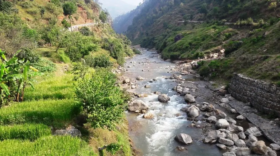
The Rapti River system is a crucial river for irrigating the agricultural lands of central and western Nepal. It is one of the rivers that flows in two directions but has the same name as ‘Rapti’. So, the two branches are:
- East Rapti River: This river branch flows through the Chitwan Valley, supporting the wildlife of Chitwan National Park.
- West Rapti River: Often called the Kanchan River, this river flows through the cultivable lands of the Dang and Banke districts.
Mechi River
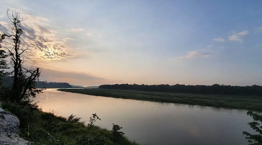
The Mechi River serves as a part of the border between Nepal and India and starts from the Ilam District, which contains tea gardens. It is relatively peaceful most of the time and, is a source of water for domestic use, including irrigation, and is helpful to farmers in the area.
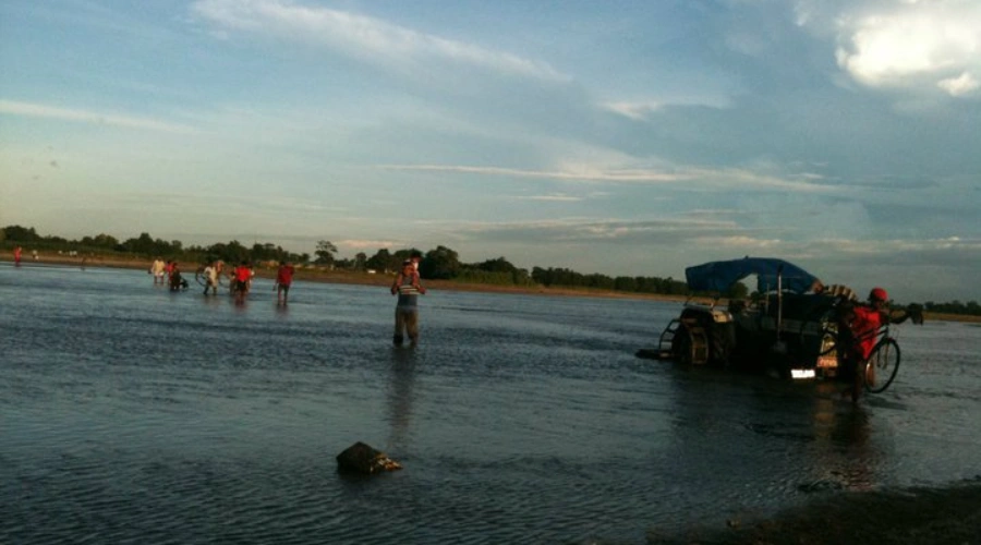
Kamala River
Another important river in the Terai region is the Kamala River, which irrigates the eastern Terai region, especially in agriculture. In contrast, it becomes dangerous during the monsoon season as it rises and can cause floods in the surrounding areas. But to farmers and fishers, it is indeed a blessing as it irrigates the lowland rice fields.
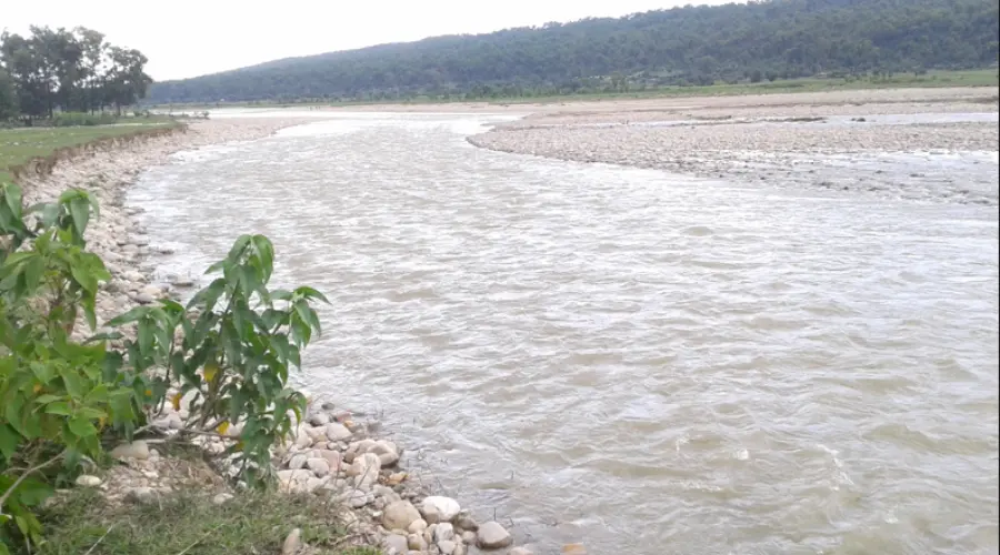
Kankai River
The Kankai River, or Mai Khola, passes through the eastern district of Jhapa. It is a notable river that supports water supply for agriculture in this agricultural belt, especially for tea and rice farming.
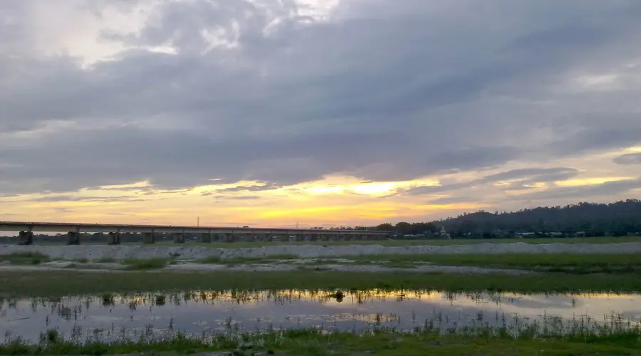
Babai River
The Babai River runs through the Bardiya National Park in the western Terai region of Nepal. It is a calm river that can sustain a rich biodiversity, including animals such as the Royal Bengal tiger and the one-horned Rhino. Additionally, its water is also used to irrigate the farmland within the catchment area.
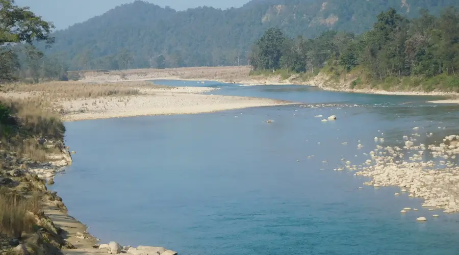
West Seti River
The West Seti River flows through the uneven terrain of far-western Nepal and passes through difficult topography. It is less developed but has a high potential for hydropower. Hence, it has a proposed large hydroelectric project that few expect to revolutionize the area.
Dudh Koshi River
The Dudh Koshi River originates from the glaciers of Mount Everest. It is a clear river, also referred to as Dudh, because of its milky white water. The Dudh Koshi is also not very deep and is ideal for whitewater rafting.

Trishuli River
The Trishuli River is perhaps the most popular river for rafting in Nepal. It runs through the central part of Nepal and is named after the trident of Lord Shiva: Trishul. The river is formed by the melting ice of the Himalayas. Hence, the Trishuli River serves as an adventurous destination for tourists.
Daraudi River

The Daraudi River is a river in central Nepal that merges into the Gandaki River system. It is a calm river with clear water, which yields the cultivation of the area.
Minor River of Nepal
Bheri River
The Bheri River is the merger of Thuli Bheri and Sani Bheri, flowing through western Nepal. It is known for its crystal-clear water, potential for water sports such as rafting, and hydropower generation. It is also famous for its breathtaking views.

Seti River
The Seti River, which flows through deep gorges and narrow canyons in the western part of the country, is relatively calm and impressive. It flows through the Pokhara Valley, sometimes vanishing underneath the ground at some point in the valley and appearing again several miles further.

Sunkoshi River
The Sunkoshi River, which translates to “River of Gold,” is one of Nepal’s largest rivers. It is located in the country’s eastern region. The Sunkoshi River is the larger tributary of the Koshi River and is somewhat popular among rafters due to its tough rapids. The river is also significant in the country’s hydropower sector.
Bhote Koshi River
The Bhote Koshi River starts in Tibet and is famous for its water waves. It is probably one of the steepest rivers in Nepal, with a sharp descent as it passes through narrow gorges. Therefore, Bhote Koshi is ideal for adventure lovers, especially those who love whitewater rafting or kayaking.
Indravati River
The Indravati River is the largest tributary of the Sunkoshi River, which originates in the high Himalayas of Rasuwa district. It is calm, looks like a serpent, and is a scenic river that contributes to local farming activities. It then joins with the Sunkoshi.

Humla Karnali River
The Humla Karnali River is one of the major tributaries of the Karnali River. It originates in the very isolated and arid district of Humla and finally meets the Karnali River, which is the longest river in Nepal.
Mugu Karnali River
The Mugu Karnali River arises from the Mugu District, another remote region in western Nepal. It falls on the same river system as the Karnali River and supplies a limited number of people living in high-altitude areas with water for irrigation and other needs.

Major Rivers and Their Total Length
- Ghaghara (Karnali) – 671 miles (shared with India and China)
- Kosi (Koshi) – 453 miles (shared with India)
- Gandaki – 391 miles (shared with India and China)
- West Rapti – 373 miles (shared with India)
- Bagmati – 371 miles (shared with India)
- Sun Koshi – 354 miles (shared with India)
- Rapti (Babai) – 311 miles
- Marshyangdi – 286 miles
- Bheri – 250 miles
- Sharda – 217 miles (shared with India)
- Kamala – 204 miles (shared with India)
- Trishuli – 186 miles
- Seti – 126 miles
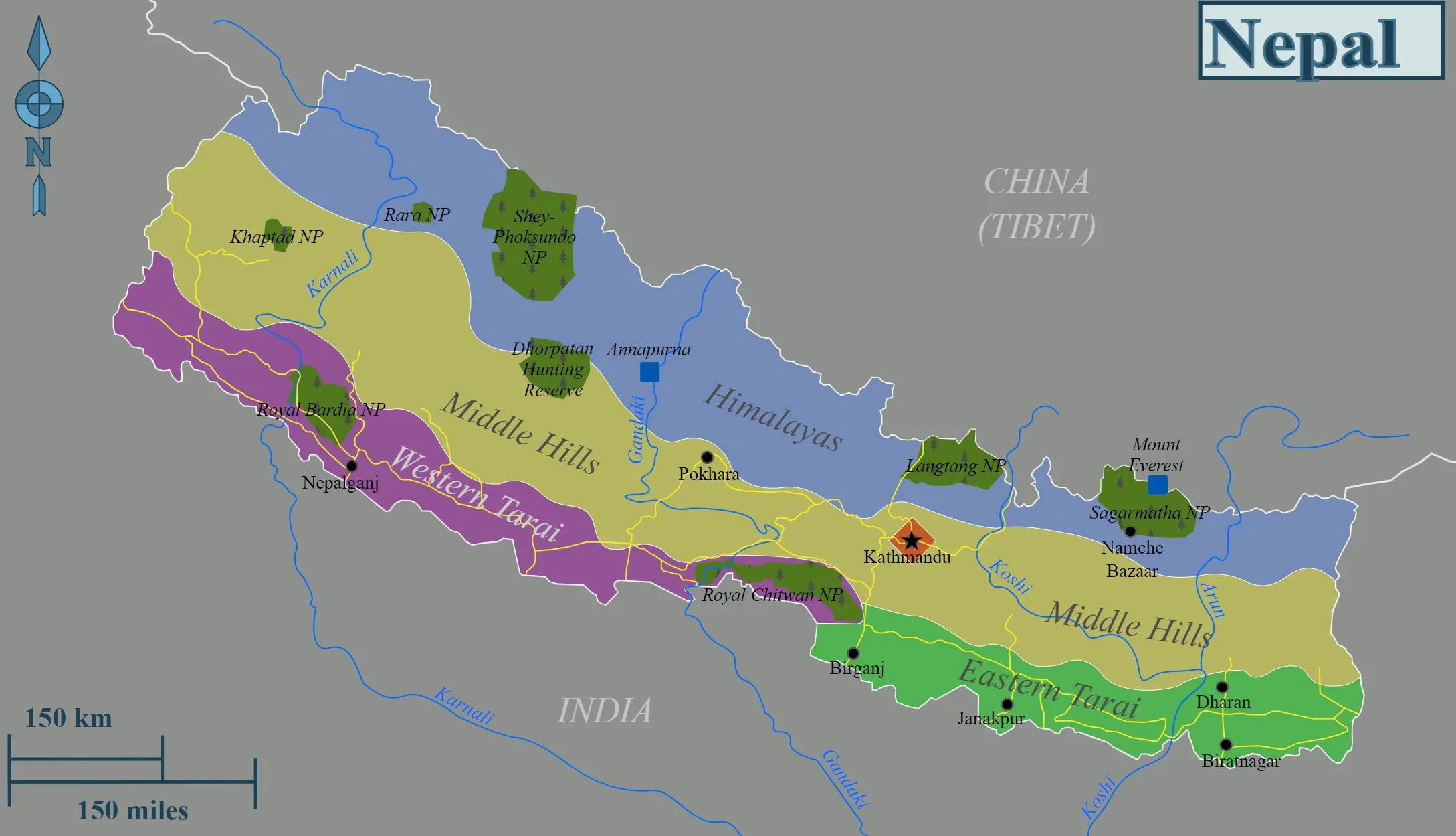
Major Rivers of Nepal on Map
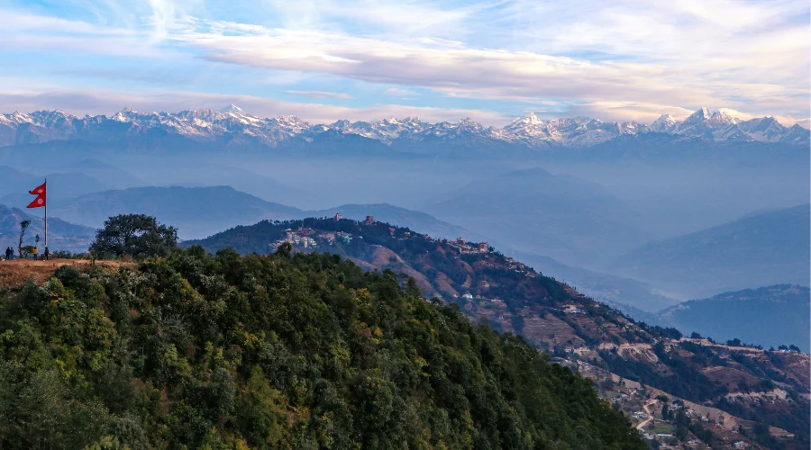
Nepal has some of South Asia’s most significant river systems, and they look equally impressive on the map. They flow from the Himalayas in the North to the lowlands in the South. Furthermore, Koshi, Gandaki, and Karnali are the three major rivers of Nepal, each with its own network of tributaries. These rivers have been vital to the nourishment of the land and provide serene scenic beauty.
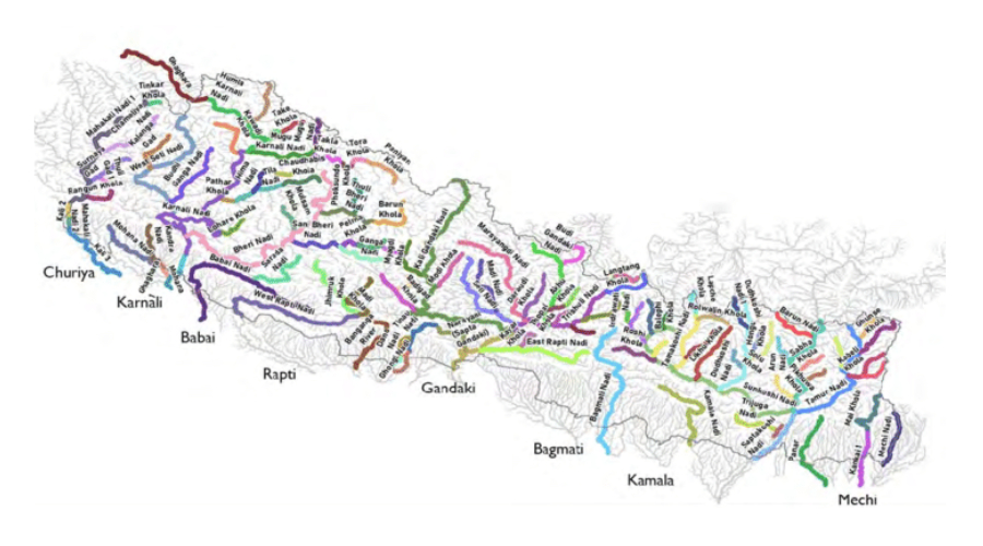
The rivers of Nepal are like veins in the human body, reaching and distributing water from top to bottom and in every part of the country. Rivers originating from the Himalayas flow through the rough terrain of the hilly region to the plains of Terai. Finally, some of them reach India. Not only that, but the rivers of Nepal perform as a borderline between countries, posing equal importance between both countries.
The chain of rivers flows from east to west and North to South, connecting every part of Nepal. Similarly, not just geographical territory, rivers in Nepal hold great cultural, spiritual, and economic value.
Importance of Rivers of Nepal
Rivers play an important role in shaping the structure of Nepal, from agriculture to culture. Some of the important rivers of Nepal are:
- It is essential for irrigating the fertile lands of Terai and other parts of Nepal and vital in cultivating crops like rice, wheat, and maize.
- Generating hydropower contributes to the country’s economic growth.
- Rivers like Bagmati hold religious significance.
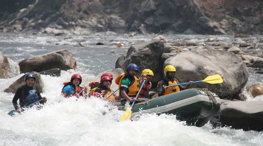
- Water adventures like rafting, kayaking, fishing, boating, etc., promote tourism.
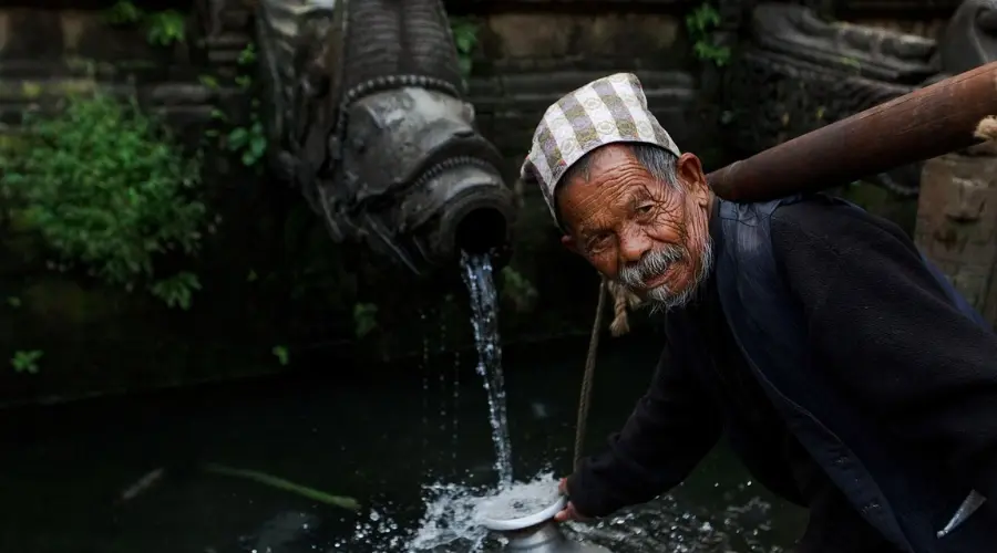
- The rivers of Nepal have been a source of livelihood for many communities, as it is a source of drinking water for many.
Sources of Water in Nepal
The sources of water in Nepal are as diverse as its geography. Some of the major sources of water are:
- Himalayan Glaciers:
The melting ice from glaciers in the Himalayan region is one of the major continuous sources of water in Nepal. - Monsoon Rainfall:
Rainfall during the monsoon season is a source of water for rejuvenating rivers, lakes, and underground water. - Springs and Streams:
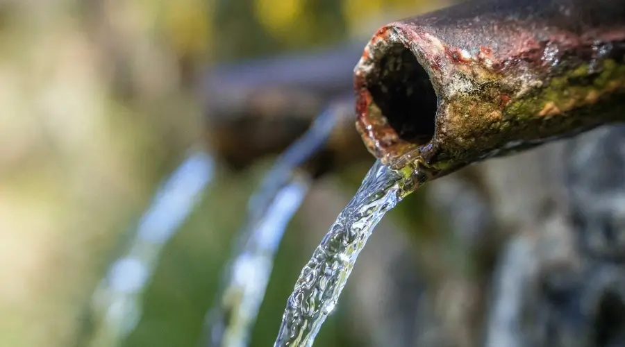
Springs and streams are a common source of drinking water and are generally used in hilly and mountainous regions. - Lakes:
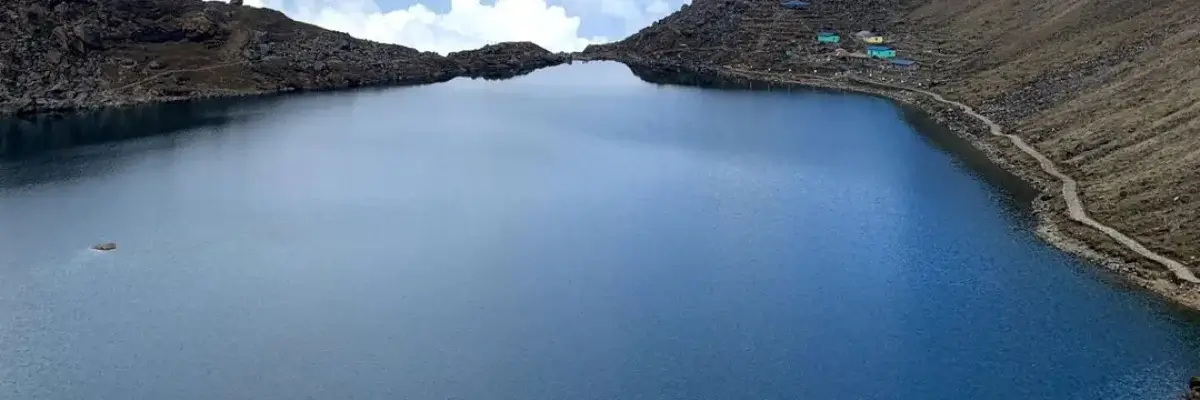
Natural lakes like Fewa, Rara, Tilicho, etc., are common sources of water that support both local and agricultural needs. - Underground Reserves:
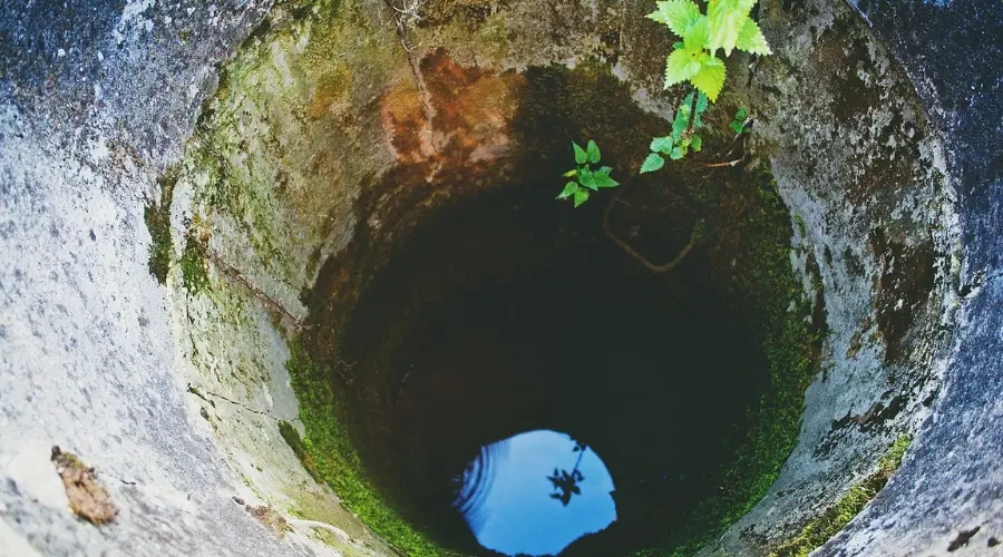
Especially in the Terai region, underground water is consumed and used for irrigation by making wells and tubewells.
Major Waterways in Nepal’s Rivers
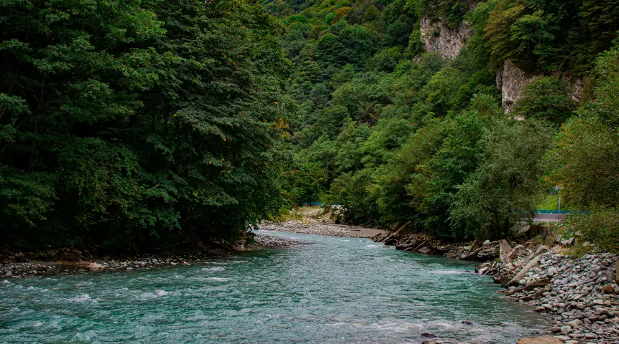
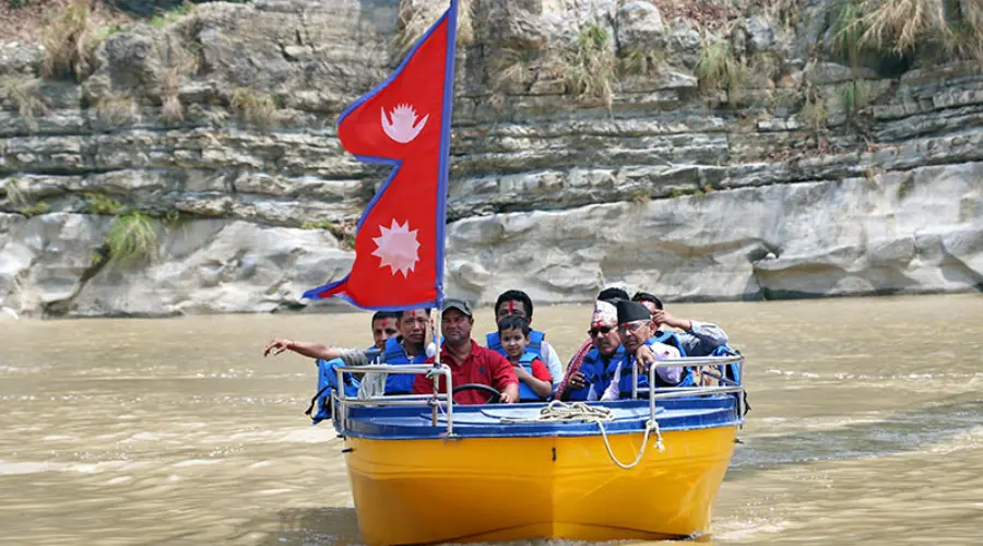
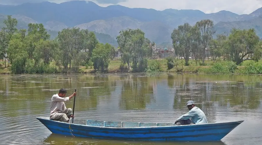
A small landlocked country, Nepal does not have a large ocean or any large navigable waterways for transportation. However, the rivers of Nepal are essential means of transportation, especially in the Terai region and parts of Nepal where the road system is not developed. Small boats and rafts are viable and are used in rivers like Gandaki and Karnali. Further, mainly during monsoon season, when road transport is difficult, these waterways are used to ferry people and goods.
These waterways are also important for irrigation and the agricultural sector, which is the mainstay of the Nepalese economy. One has to note that the Nepali rivers cannot be classified as commercial transportation routes. However, practically every Nepali is familiar with the presence and importance of these rivers in peoples’ lives and in the economy.
[Source: The Kathmandu Post]
FAQ
Why should we preserve the rivers of Nepal?
The rivers of Nepal are essential for everything from clean drinking water to irrigating farming land. There are several other reasons for the preservation of the rivers of Nepal. Such as:
- Generate hydropower
- Support plant and animal life
- Has cultural and spiritual importance
- Attract and boost tourism
- Promote water adventures such as rafting
How many rivers are there in Nepal?
As per ResearchGate’s data, there are more than 6,000 major and minor rivers in Nepal.
What are the rivers between Nepal and India?
Mahakali River, also known as Sharda River or Kali River, serves as an international border between Nepal and India. Likewise, the Koshi River, also known as the ‘Sorrow of Bihar’, originates from Nepal and flows to Bihar, India. Similarly, other rivers between Nepal and India are Karnali, Gandaki, West Rapti, Kamala, etc.
What are the major/first-grade rivers of Nepal?
Gandaki River, Koshi River, and Karnali River system are Nepal’s three major/first-grade rivers.
What are the types of rivers in Nepal?
There are three major types/categories of rivers in Nepal. They are:
- 1st type – Gandaki River, Koshi River, and Karnali River
- 2nd type – Mechi, Kankai, Bagmati, Trijuga, Banganga, Tinau, Rapti, Babai, Mohna, etc.
- 3rd type – Jamuni, Manusmara, Hardinath, Tilabe, etc.
Want to know more?
Speak to an Expert


Sandip Dhungana
Nepal 🇳🇵
Whatsapp: +977-9823636377







Leave Your Comment