Upper Mustang Trek Distance, Duration and Road
Table of Contents
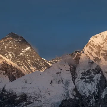
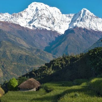
A journey into the Forbidden Kingdom, the Upper Mustang Trek is a unique trekking destination in the remote Annapurna region of Nepal. The Trek is a dream destination for adventure seekers who want to explore the desert-like landscapes and centuries-old Tibetan-influenced culture. However, before exploring the awe-inspiring scenery, there are some Upper Mustang Trek distance that trekkers need to travel.
The Upper Mustang Trek is a journey up to the enclosed, walled city of Lo Manthang. A journey to Lo Manthang is one of the most exciting experiences you will get to be a part of. Whether you are on foot or by road, each and every moment is an eye-opening experience.
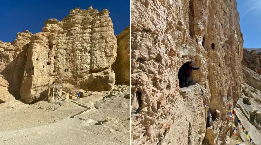
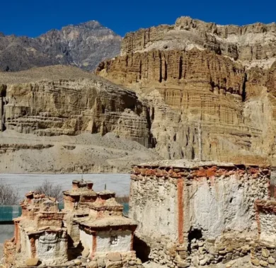
Trekkers get to explore vivid barren landscapes, ancient caves, and several small, picturesque Tibetan-influenced villages.
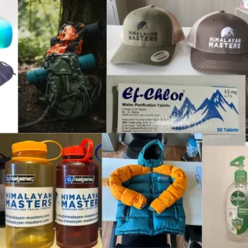
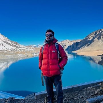
If you are trekking with Himalayan Masters, the Upper Mustang Trek can be completed in 14 days. We, Himalayan Masters, offer one of the best-organized treks in the Himalayas.
Himalayan Masters is the best trekking company in Nepal for a safe, memorable and comfortable trek to Upper Mustang.
The total Upper Mustang Trek distance is about 422 km (262 miles) from Kathmandu. However, the actual trekking only starts from Jomsom and ends at Muktinath. This trekking distance is around 123 km (76.5 miles) long.
Upper Mustang Trail Condition From Jomsom
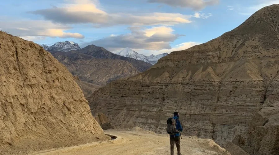
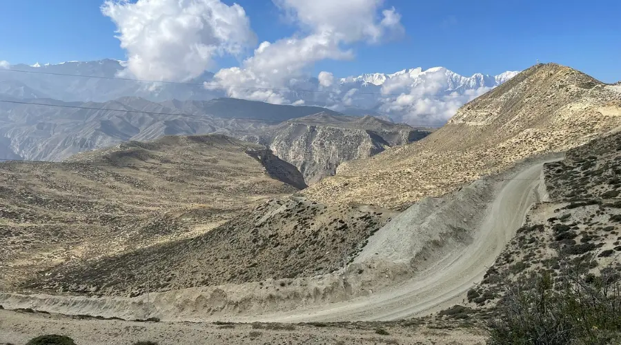
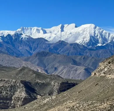
The Upper Mustang Trek trail from Jomsom is one of the most unique and exciting experiences in the Himalayas. You will be amazed to see some of the most rugged yet stunning terrains of Upper Mustang.
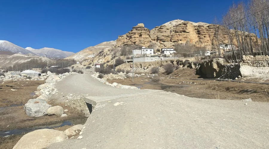
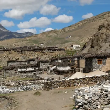
On the way, trekkers can see red cliffs, deep canyons, caves carved on cliffs, rivers, gorges, etc. The trail follows the Kali Gandaki River valley through traditional villages like Kagbeni, Chele, Syangbochem, Ghami, Tsarang and Lo Manthang.
The total Upper Mustang Trek distance from Jomsom is around 64 km (40 miles). It is around a 5-7 day trek, where trekkers are required to cover about 12 km (7.5 miles) daily.
Upper Mustang Road Condition From Beni to Jomsom
The road condition from Beni to Jomsom is a mix of black-topped and gravelled roads. You can take a private vehicle or opt for the local vehicle to reach Jomsom.
The 85 km (53 miles) long route from Beni to Jomsom follows the Kali Gandaki River. It’s a drive route of around 3-4 hours; however, we will be stopping for some snacks, lunch and sightseeing.
We will stop for lunch at Tatopani and stop at Kalopani to spot Dhaulagiri Icefall, Tukuche Peak, Nilgiri Peak, Annapurna I, village view, horticulture farm, etc.
Moreover, it might take longer because of landslides and river crossings.
Upper Mustang Road Condition From Jomsom to Korala Border
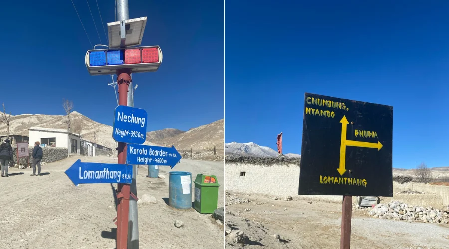
The drive or trek route from Jomsom to Lo Manthang is the same. From Lo Manthang, trekkers can either trek or take a vehicle to the Nepal-Tibet border at Korala.
Apart from 64 km from Jomsom to Lo Manthang, the Korala border is around 22 km (13.5 miles), about a 1-hour drive. It is mostly off-road, with occasional river crossings and steep inclines.
Upper Mustang Distance by Major Cities
The Upper Mustang Trek distance varies from the starting location of the trek. Upper Mustang can be accessed from various cities of Nepal. Each route offers a unique experience.
Depending on the trek’s starting point, you might need to take a flight or have a driving experience through dense Sal or alpine forest or several local villages.
Here are some of the popular start points and route conditions for this trek.
Total Distance from Kathmandu
Upper Mustang Trek from Kathmandu is the most popular starting point for the trek. Kathmandu is the first city tourists arrive if you take an international flight, as Nepal has only one international airport, Tribhuvan International Airport.
Now that you are in Kathmandu, trekkers have different modes of transportation options to reach Pokhara and then to Jomsom. They can take a private vehicle, a public vehicle, or choose to take a flight to Pokhara from Kathmandu.
Trekkers can take a public night bus from Kathmandu to Kagbeni, which furthermore goes up to Muktinath.
If you are driving, it is almost 201 km (125 miles), which takes about 8-9 hours. Then, on the next day, there is a nearly 158 km (98 miles) drive to Jomsom.
On the same day, trekkers need to trek further to Kagbeni, which is about a 10.6 km (6.5 miles) long trek, about 3 hours of walking. Then, take the route from Jomsom to Lo Manthang, as mentioned before.
It is a long yet rewarding journey. Though long, experiencing local Nepalese people’s unique culture and lifestyle is undoubtedly an experience like no other. In addition, there are stunning mountain views, terraced farming land, beautiful villages, and many more.
Total Distance from Pokhara
After you have enjoyed some of the best things in Pokhara, you can start your trek from Pokhara itself. Our Himalayan Masters team will pick you up from your hotel and set out on the most exciting trip to Upper Mustang.
Lo Manthang is almost 222 km (138 miles) from Pokhara. This distance can be covered by private or public buses. A public bus from Pokhara to Kagbeni and Muktinath is operable.
Distance from Sunauli/Bhairahawa
For those entering Nepal from India or who are in Bhairahawa, the Sunauli border is a common entry point. From Bhairahawa, they will need to first travel to Pokhara via Mugling. Then, take the same route as mentioned above.
Pokhara is about 181 km (112.5 miles) from Bhairahawa. Tourists need to drive first to Pokhara via the Butwal-Mugling highway, then to Jomsom, and finally trek to Upper Mustang.
The route condition from Bhairahawa to Pokhara is a mix of black-topped and off-road. Especially, from Bhairahawa to Chitwan city, the road is excellent, on the plain roads of Terai, through dense Sal forests.
Muktinath to Upper Mustang Distance
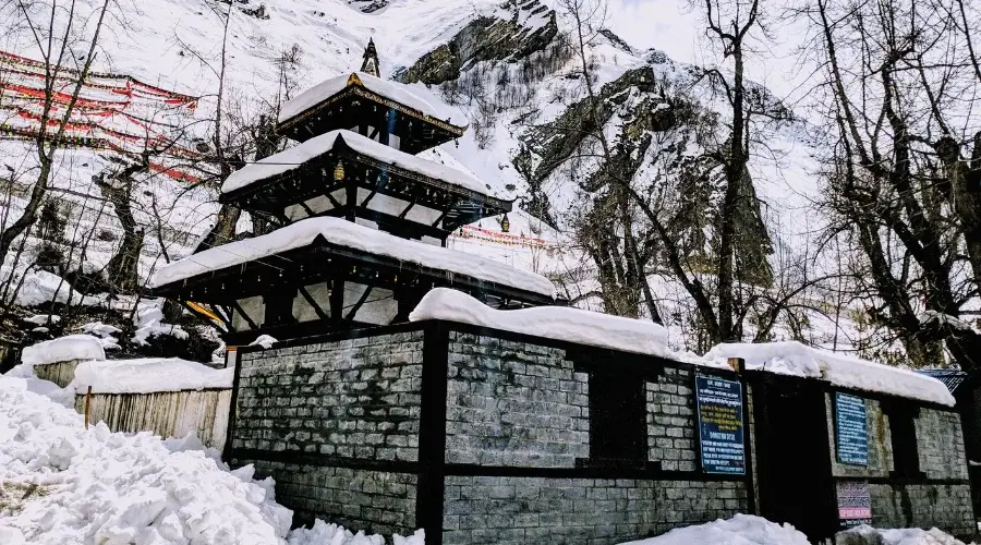
A different yet exciting alternative route to Upper Mustang is via Muktinath. Trekkers can directly drive to Muktinath, a famous pilgrimage site for Hindu and Buddhist devotees, or choose to trek from Kagbeni.
The trek route distance from Kagbeni to Muktinath is about 12 km (7.5 miles) and takes about 3-4 hours. Then, you can spend the night in Muktinath and trek to Chhusang and Chele the next day via Gyu La Pass (4077 m/13,376 ft) and Tetang.
Muktinath to Chhusang is a complete trek route. So, this route can be a good alternative for those looking for more adventure. However, know that this is a completely remote route, so make sure you have a professional guide and carry snacks for the route.
Or, you can extend your trekking to Upper Mustang after you have completed the Annapurna Circuit Trek.
Upper Mustang Distance From Different Places
Now that we have discussed different starting points in the Upper Mustang Trek distance. Let’s give a quick overview of each one.
- Kathmandu to Upper Mustang Distance: 423 km (263 miles)
- Pokhara to Upper Mustang Distance: 222 km (138 miles)
- Jomsom to Upper Mustang Distance: 64 km (40 miles)
- Beni to Upper Mustang Distance: 85 km (53 miles)
- Kagbeni to Upper Mustang Distance: 54 km (33.5 miles)
- Muktinath to Upper Mustang Distance: 46 km (28.5 miles)
- Bhairahawa to Upper Mustang Distance: 404 km (251 miles)
- Lower Mustang to Upper Mustang Distance: 64 km (40 miles)
- Chitwan to Upper Mustang Distance: 379 km (235.5 miles)
- Dang to Upper Mustang Distance: 529 km (329 miles)
- Gorakhpur to Upper Mustang Distance: 502 km (312 miles)
- Hetauda to Upper Mustang Distance: 423 km (263 miles)
- Kusma to Upper Mustang Distance: 285.5 km (177.4 miles)
- Tilicho to Upper Mustang Distance: 95 km (59 miles)
- Tatopani to Upper Mustang Distance: 116 km (72 miles)
- Butwal to Upper Mustang Distance: 379 km (235.5 miles)
- Upper Mustang to Korala Distance: 22 km (13.5 miles)
Nepal Trekking Routes
related post
Want to know more?
Speak to an Expert
Sandip Dhungana
Nepal 🇳🇵
Whatsapp: +977-9823636377
UNSURE WHERE TO GO? WE CAN HELP
Based on your preferences, location, timeframe, and budget, our team can design your dream trek based on our extensive knowledge and experience of the Himalayas. Get in touch with us for detailed information and assistance planning your dream trek. With our 97% success rate on trekking and climbing trips in 2022 and 2023 spring season, we will answer any questions you may have and guide you for an unforgettable experience.