Where is Mount Everest located? In which country? Nepal or China?
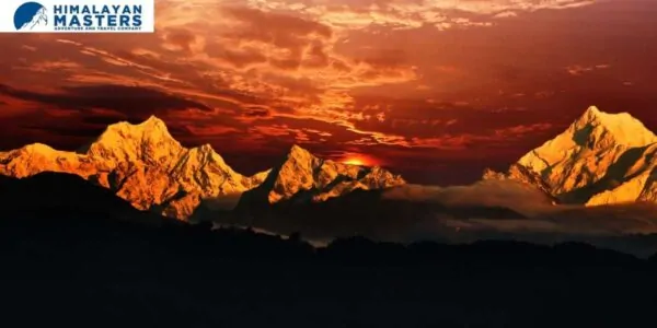
Table of Contents
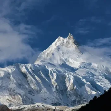
Today, let’s discuss a very common question: Where is Mount Everest located? Most of the world is well aware of the fact that Mount Everest is the world’s tallest mountain peak, i.e., 8848 meters. Everest Peak is also the highest point in the world, meaning there’s seriously nothing beyond its peak.
However, many people are still unaware of where Mount Everest is located. In what country? Nepal or China? Is Mount Everest in Nepal?
Let’s answer these questions in detail.
Mount Everest is located in Nepal, a small south-eastern country. Many people still believe that it is in China. That’s not completely wrong, as the majestic Everest peak borders Nepal in the north and Tibet in the south, sharing 1/3 part by China and 2/3 part by Nepal. However, legally and geographically, Mount Everest belongs to Nepal.
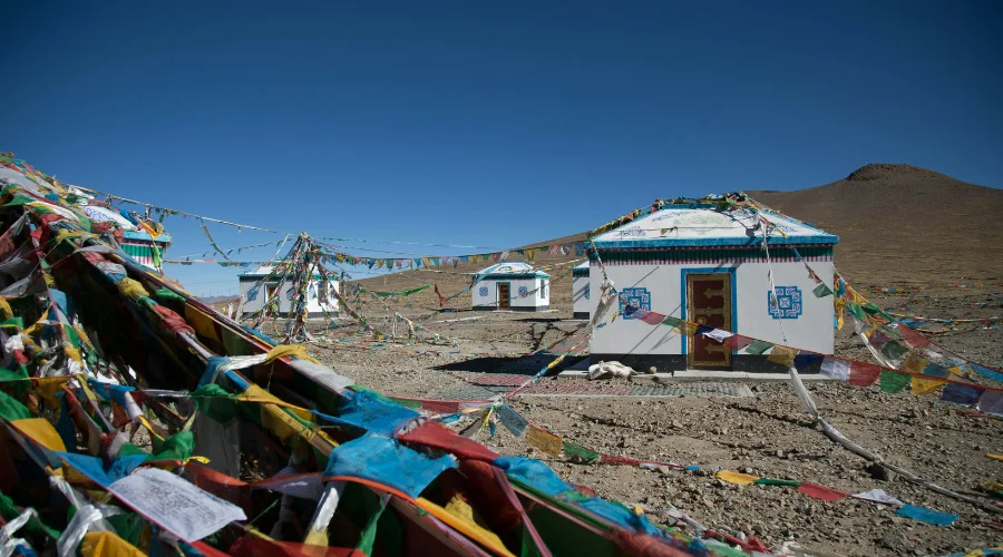
The North Base Camp of Everest is on the Tibetan side, while the South Base Camp is in Nepal. There are two different ways to witness Everest. The most popular ways to get there are the Everest Base Camp Trek from Nepal and the Everest Helicopter Trek.
Now, let’s discuss where Nepal is located so that you can find where Mount Everest is located on the map.
Where is Nepal?
Nepal is a small country in Southeast Asia, squeezed between China and India. This landlocked Federal Democratic Republic nation is in the Himalayas between the Indo-Gangetic Plain.
Nepal is a literal paradise for travellers from all around the world. That’s due to its Himalayan range, which includes eight of the world’s ten tallest mountain peaks. The top 10 mountains of Nepal are:
- Everest: 8848 m/29,029 ft
- Kanchenjunga: 8,586 m/28,169 ft
- Lhotse: 8,516 m/27,940 ft
- Makalu: 8,463 m/27,766 ft
- Cho Oyu: 8,201 m/26,906 ft
- Dhaulagiri: 8,167 m/26,795 ft
- Manaslu: 8,156 m/26,759 ft
- Annapurna: 8091 m/26,545 ft
Everest Peak (also known as Sagarmatha in Nepali and Chomolungma in the Tibetan Language) is the tallest and most popular.
Now that you know which country Mount Everest is located in, let’s find out where exactly Mount Everest is located.
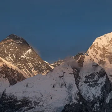
Where is Mount Everest located?
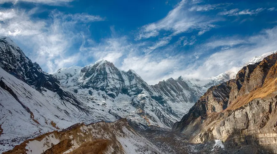
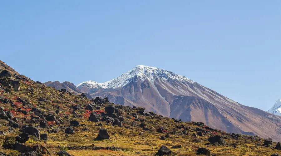
Mount Everest is part of the Asian Himalayan range (the Higher Himalayas or Great Himalayan Range). This range stretches along six countries: Nepal, Bhutan, China, Bhutan, Pakistan, Afghanistan, and India. It has a few of the tallest Himalayan peaks in the world.
The Himalayas range separates the Indian subcontinent from the Chinese or Tibetan Plateau. Mount Everest lies on the eastern side of this Himalayan range.
Location of Mount Everest is on the eastern side of Nepal, on its northern border, at the coordinates 27°59′17″N 86°55′31″E. It lies in Province 1, Solukhumbu district of Nepal, about 150 km (93 miles) from Kathmandu, the capital city of Nepal.
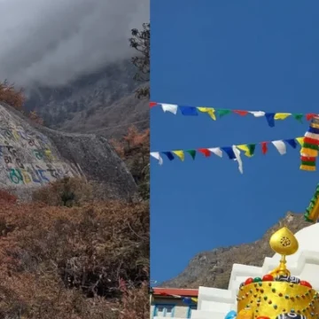
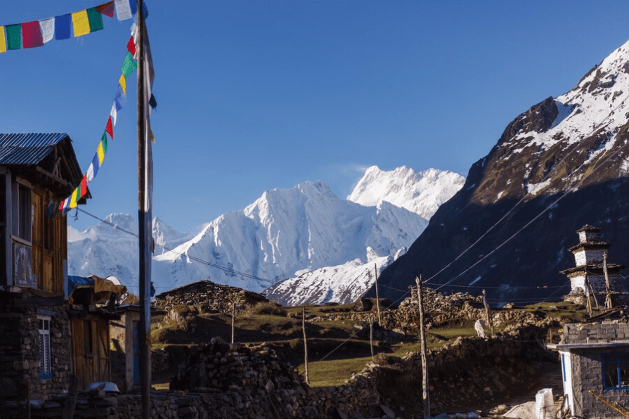
This Everest peak and many other mountains in this region have been protected under the Sagarmatha National Park, which is also a UNESCO World Heritage Site.
The Tibetan side lies in the Mahalangur Range of the Tibetan Plateau. In the Tibetan language, this plateau is popularly known as Qing Zang Gaoyuan.
Where is Mount Everest located in Nepal?
Mount Everest is in the northeastern region of Nepal, in the Asia continent. Everest location is within the borders of Sagarmatha National Park, which is a protected area in the Himalayas. The mountain is a part of the Mahalangur Himal sub-range, and there are many other high peaks around it, namely Lhotse, Nuptse and Changtse.
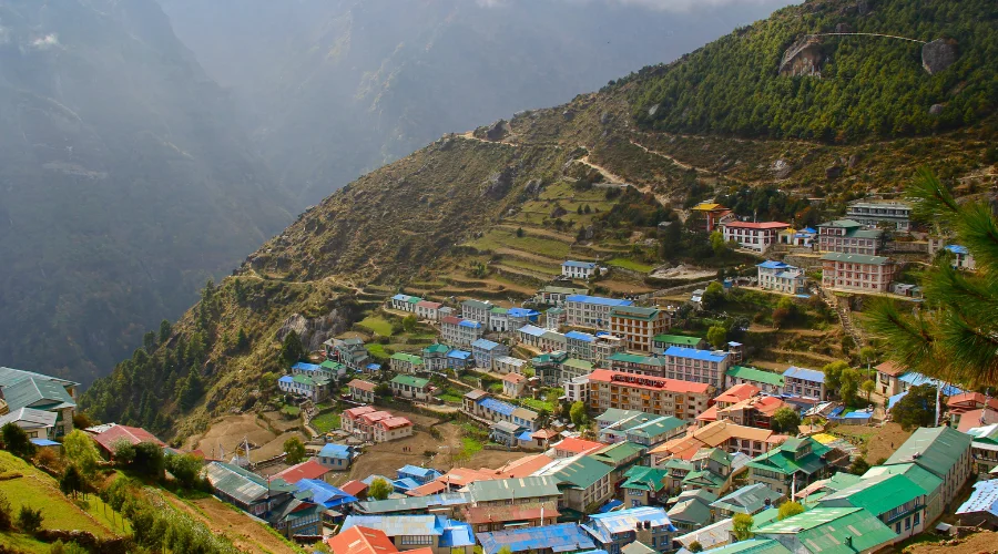
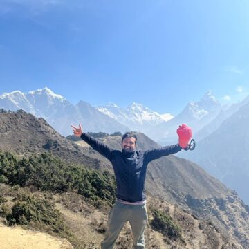
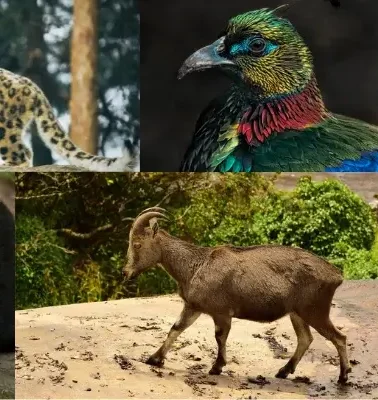
It is the land of majestic landscape, diverse flora and fauna and unique Sherpa culture. The gateway to Mount Everest is the town of Lukla, from where most treks and expeditions to the Everest Region begin.
Where is Mount Everest located on a map?
The world’s highest peak, Mount Everest, is an attraction for adventurers and climbers from every part of the globe, as they are inclined to its sheer awesomeness and the challenge it portends. Its nearby coordinates, 27.9881° N latitude and 86.9250° E longitude, are clear indicators of where it is situated on the map, which is a landmark to those who want to scale up the peak and a splendour to the surrounding travellers.
How high is Mount Everest?
As we have already mentioned, this is the highest peak in the world, with an Everest summit elevation of 8,848.86 m (29,031.7 ft). The measurement has been completed by Chinese and Nepali authorities in 2020.
The last measurement was done in 1955 and reconfirmed in 1975. Even then, these countries would often get engaged in the debate about the height of Everest, and the final confirmation was received after the measurement in 2002. It is believed that Mount Everest grows 44 millimetres each year.
How did the name “Everest” Come?
Mostly, the mountains are named after the climbers, or their name is given by the local people. Strangely, this particular mountain was named “Everest” in honour of Sir George Everest. Sir George was the Welsh Surveyor General of India while India was still under the control of the British.
Even more interesting is that Sir George didn’t want a mountain named in this honour. For a long time, he kept on protesting the idea for many reasons. However, the political figures announced the Name “Everest” in 1865. They used to pronounce it “Eave-rest” and not “Ever-est” in the British accent!
Moreover, the name of the mountain as ‘Peak XV’ was already proposed in 1856 when it was confirmed as the highest peak in the world.
What are other names for Mount Everest?
The other name for Everest, “Sagarmatha,” was also used only in 1960. In Nepali, Sagar means “river or ocean,” and matha means “head.”. In Tibet, Everest is called Chomolungma, which means”Holy Mother of the World.” Further, there are many other names for Everest used by the local tribes of the Himalayas.
Who Climbed Mount Everest on Map First?
Well, you might already be familiar with the names Sir Edmund Hillary and Tenzing Norgay Sherpa. This determined beekeeper from New Zealand successfully reached the summit on May 29, 1953. He was able to climb Everest with the Nepalese Sherpa and Tenzing Norgay. The two reached the summit at 11:30 a.m. and buried some candies up there.
However, there’s been a claim that George Mallory was the first person to be able to climb Mount Everest in 1924. However, he died before he could return and make his claim. Mallory’s body was found in 1999 only, just below the summit, leaving the controversy about whether he died while ascending or descending.
How do you reach Mount Everest on the map?
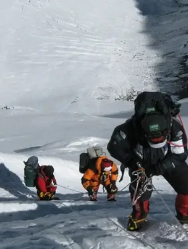
After all this information, you might now wonder what the best way to reach Mount Everest is. The best way to get to Mount Everest is to trek to Everest Base Camp from the Nepalese site and then attempt for the summit.
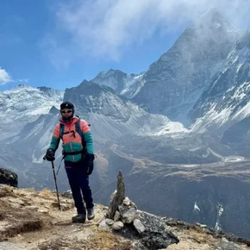
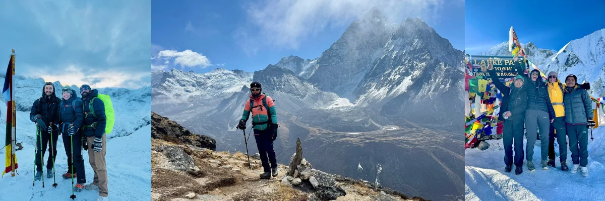
About 50,000 visitors complete this Everest Base Camp Trek route each year. All treks in the Everest region start with a flight to Lukla and take you in proximity to the mountains.
Treks In the Everest Region
Now that you are well aware of the location of Mount Everest in Nepal or the world Map let’s discuss a little bit about the trek options possible in the Everest region.
- Everest Base Camp Trek
- An Everest Base Camp Trek from Jiri
- Everest Three-Pass Trek
- An Everest Gokyo Trek
- Everest View Trek
- The Everest Trek with Helicopter return, etc
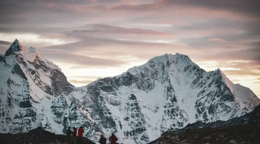
Where can you see Everest from?
The best view you can see Everest from is the Everest Base camp. Some of the most majestic viewpoints of Everest are:
- Kala Patthar or Kalapatthar, 5,550 meters/18,209 ft (lies close to Everest Base Camp)
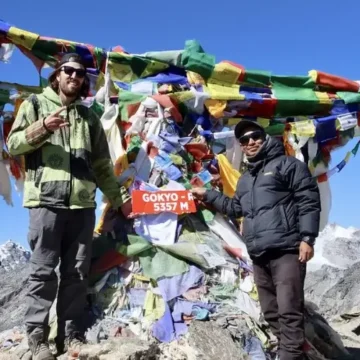
- Gokyo Ri (5360 m/17,585 ft)
- Pikey Peak (4,065 m/13,336 ft)
- Tengboche (3860 m/12,664 ft)
- Hotel Everest View (3900 m/12,795 ft)
Other places near Annapurna and Kathmandu where you can see Everest
- Khopra Ridge (aka Khopra Danda, 3,660m)
- Nagarkot
- Dhulikhel
However, do you know what the easiest way to see Mount Everest is without climbing it?
It’s during the Everest Base Camp helicopter tour, which takes you on A 3-hour journey from Kathmandu to the Everest Base Camp landing. There are also many similar landing points across this helicopter flight to Everest, i.e., Lukla, Hotel Everest View, and Kala Patthar.
Final words,
Is there anything else that you want to know about? Where is Mount Everest located, and in what country? We guess you have had enough detail about where Mount Everest is located.
Do not hesitate to comment below about your query, and we will be happy to help.
Nepal Trekking Routes
related post
Want to know more?
Speak to an Expert


Sandip Dhungana
Nepal 🇳🇵
Whatsapp: +977-9823636377
Author
Himalayan Masters has been established by travel and trekking experts with several years of experience. Our consultants have travelled extensively and have in-depth knowledge of the region you will be traveling in.

Leave Your Comment